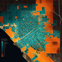
- Dynamic Point To X,Y
-

-
In this blog we learn about using a feature class as a table and bypassing the default geomoetry values to project point data from fields values.
- By Jason Tromborg, Dallas Crow
- Creating a Progressive Web App with Vite.js and ArcGIS JS API
-

-
Building a javascript app from scratch using Vite.js and the ArcGIS Javascript API. This method is quick, easy and fun to develop with. You will be amazed and the rebuild speeds.
- By Jason Tromborg
- ArcGIS, HTML and Python via Pyscript
-

-
Is it possible to create a webpage that loads a arcpy library and displays a mapping application? It just might be possible now with the introduction of py-script.
- By Jason Tromborg
- ArcGIS Pro Arcade and Tags in Map Series Layouts
-
-
Have you ever wanted to create a custom variable on an ArcGIS Pro map series layout? Not a simple dynamic context, but say change the color of a text element to red if the value in a field is false and green if it is true? Maybe change a logo based on the owner of a property or business?
- By Jason Tromborg, Jacqui Martin, Dallas Crow
- Witcher 3 and GIS Community
-
-
When video game makers hire a research group to study the impact of symbology in video game maps, who do they reach out to? You guessed it, the GIS community!
- By Jason Tromborg